While the storm Thursday and Friday night did dump a lot of snow in parts of Colorado, it did not bring much of the white stuff to Nederland and the surrounding Front Range Foothills communities. It was not expected to be a big storm for us, but it ended up producing even less snow that I thought. I measured only 0.1 inches of new snow with amounts between 0.1 and 1 inch common in the Foothills of northern Colorado. Looking at Snotel data, the Indian Peaks region including Brainard Lake received between 3 to 8 inches with amounts up to 12 inches in parts of Rocky Mountain National Park. Here is a map of the snowfall totals from this last storm. Note the hole over southern Boulder County and northern Gilpin County – I guess we are just lucky?:
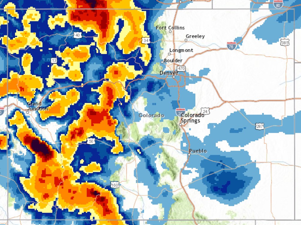
The San Juan Mountains of southwestern Colorado, the Uncompahgre Plateau, the West Elk Mountains, and the Park Range all saw double digit snowfall totals with 2 to 3 feet common in these areas. Also, Denver measured 0.3 inches of snow, ending their snowless streak and setting December 10th as the date of the first measurable snowfall of the 2021-2022 winter season and the latest date on record.
A big storm will batter the West Coast over the next few days production feet of snow in the Sierra. Meanwhile, we will be high, dry, and relatively warm here in Nederland. Sound familiar? This has been our weather pattern for most of the fall.
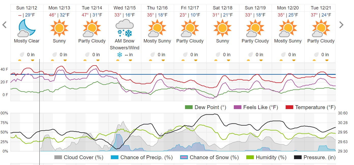
The West Coast trough will lift across the Central and Northern Rockies on Wednesday with a storm rapidly intensifying over northeastern Colorado during the day. While this northerly storm track will result in little snow for the Front Range Foothills, I expect strong and gusty winds on Wednesday and Wednesday night with colder temperatures – a Bora wind event.

The rest of the week appears to be seasonably cool but dry. There are no storms in sight for us through the end of the year. We might not see a white Christmas for Nederland this year, and that is unusual for us.
As for the forecast, I think the winds and cooler temperatures mid-week will be the big story for us. WeatherUnderground says:
If you think it has been dry here, well it has. But it has also been dry across much of the rest of the country. Here are the precipitation and temperature departures from normal over the United States for the past 30 days:

Nearly the entire country has only seen between 10 to 75 percent of normal precipitation. Also, look at how warm the western two-thirds of the country have been! There is no end in sight for our dry weather. Remember, January normally tends to be one of our driest months. Hopefully, things will turn around for us this spring.