After a pleasant but chilly weekend in the Colorado Front Range Foothills some unsettled weather is on its way for the beginning of the week. Like most other weather systems this winter, each successive model run has been weakening this storm system. Mind you, we are only talking the difference of a few inches, but when it has been as dry as it has been in Nederland, any precipitation is welcome.
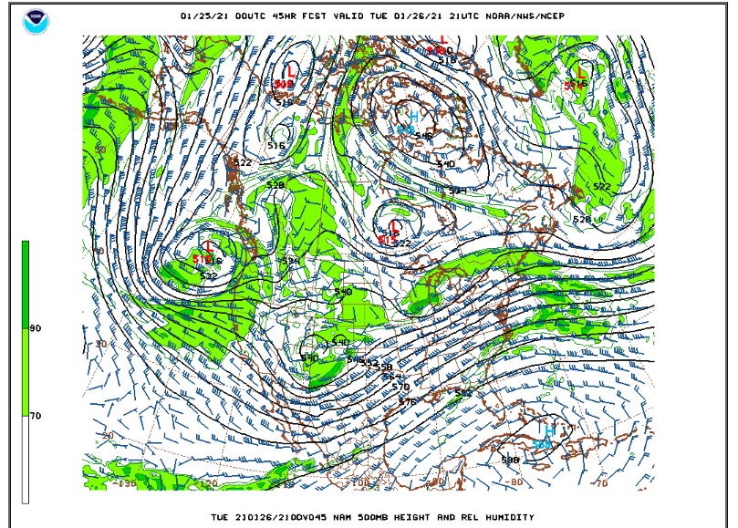
The forecast over the next few days will be complicated by the fact that the storm system is somewhat disorganized. A deep tough in southern California on Monday afternoon will slowly track across the southern Rockies Monday night and Tuesday:
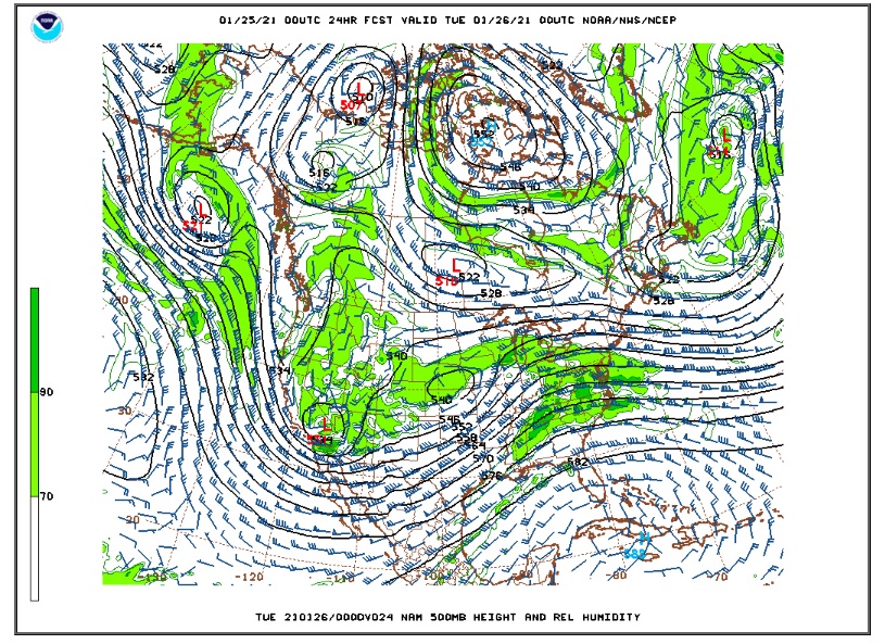
Here is the upper level map for Tuesday morning:
A combination of some upper level energy, shallow upslope winds, and moisture will likely result in periods of light snow starting Monday afternoon and continuing into Tuesday afternoon. Despite the duration of this storm, the snow will be light and intermittent. The latest NAM model is giving us somewhere between 0.25 and 0.50 inches of liquid which given a 1:15 inch snow ratio (which is typical for January) would result in 3 to 7 inches of snow. The GFS is less generous with its precipitation forecast, only 0.10 to 0.25 inches liquid – or 2 to 4 inches of snow.
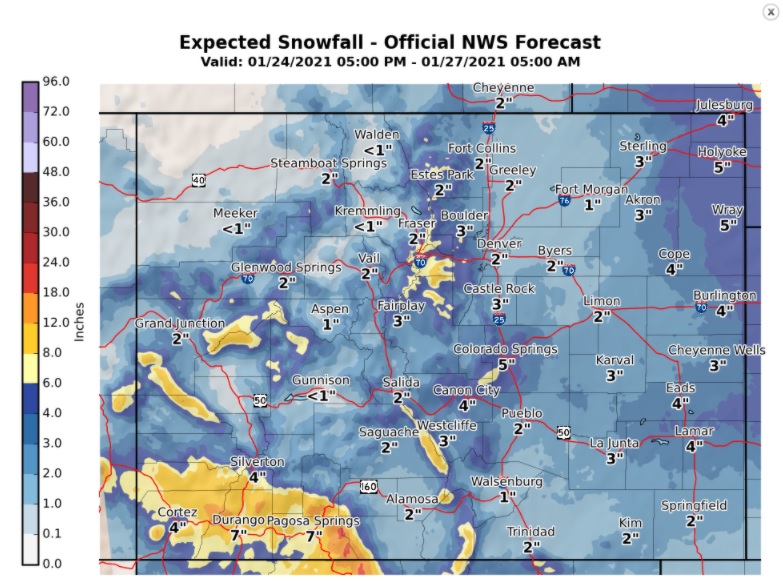
Most sources, including the National Weather Service, DarkSky, and WeatherUnderground, are calling for about 2 to 4 inches. Here is the snowfall forecast from the folks at the Boulder NWS Office:
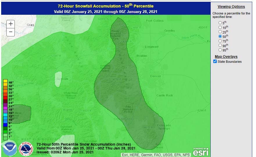
Here is the 50th percentile snowfall forecast from the Weather Prediction Center:
For the moment, I think 2-4 inches is a good forecast given the uncertainty with this system. Once this system exits, we will see a gradual warm up for the remainder of the week with dry conditions.