After several days of warm, record-breaking weather, the Front Range Foothills are in for a reality check. Yes, Virginia (huh?) it really is November, and it can be – and should be – cold this time of year. Two cold fronts will sweep across Colorado, one on Tuesday night and then next on Wednesday afternoon, and as a result temperatures will return to more seasonable levels. Note that temperatures are really only returning back to normal, but that will feel chilly after the shorts and shirt sleeve weather of the past few days. Front Range weather, as erratic as it can be, will remind us that we live in Colorado.
Despite the cold, there will be little moisture. A few snow showers are possible Tuesday night, but the frontal passage on Wednesday afternoon should be dry.
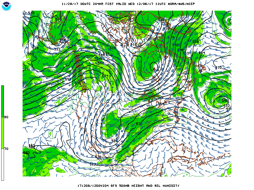
The next chance of any real precipitation will early to mid next week when an upper level low is expected to dig into the Four Corners region of the western United States and then slowly track across north-central New Mexico during the day on Wednesday. At least this is the solution currently favored by the American medium range forecast models. The European models keep this storm as a stronger cut-off low over southern California during this period. This big discrepancy in models on a storm over a week away is to be expected and bears watching. The following two images show just how different the model forecasts are for next week.