After a brief respite from the cold on Sunday when temperatures “soared” into the mid to upper 30s F in Nederland, a cold front will sink southward across Northern Colorado early Monday morning, ushering in much, much colder air just in time for 2019. Temperatures on Monday will slowly sink back into the single digits with lows Monday Night (New Years Eve) getting close to 10 below zero – yes that’s -10 F! If you are going out to celebrate the arrival of the New Year, expect and prepare for brutally cold temperatures.
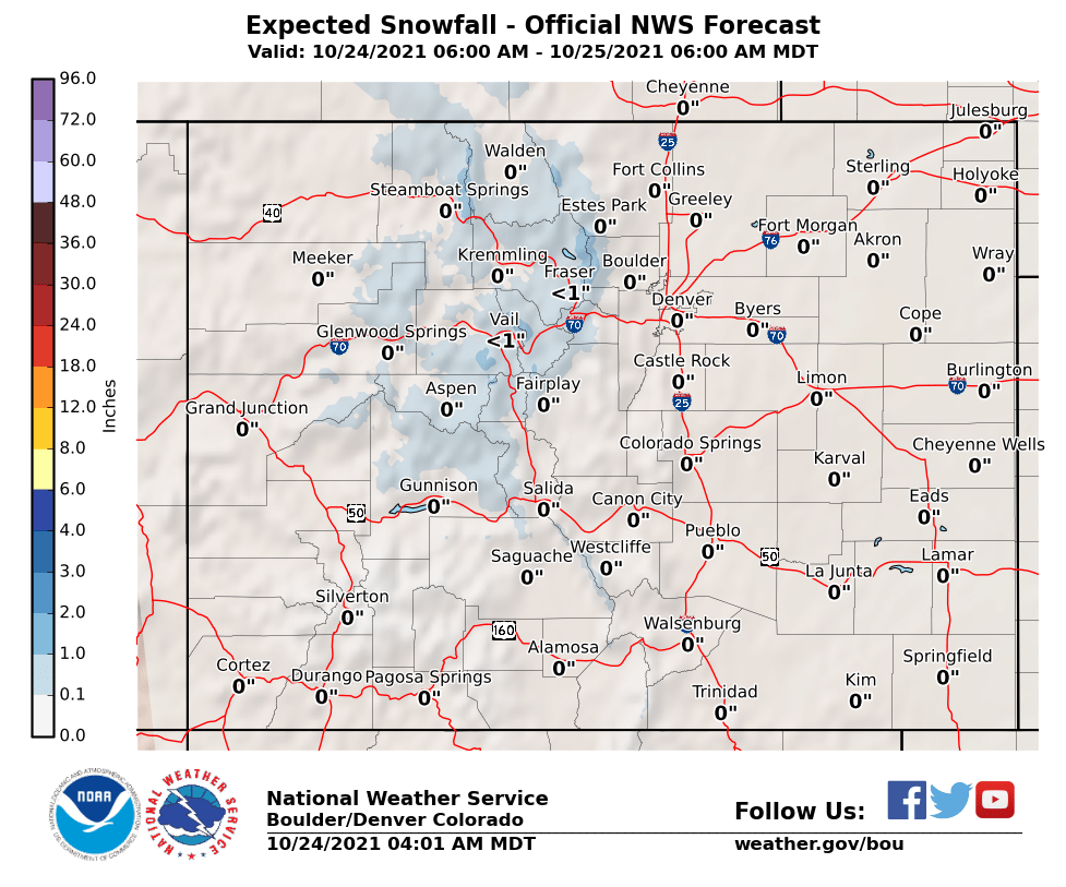
This cold front will be accompanied by snow as well, and this is where things get a bit more complicated. There will be a period of shallow upslope flow extending from around 5 AM Monday morning into the mid afternoon hours. There will also be some lift in the mid levels of the atmosphere and a decent amount of moisture for producing snow. The big question is just how much snow will fall. One thing a meteorologist will do when preparing a difficult forecast is check what other weather folks are predicting. Also, most models are producing fairly light precipitation amounts for the Colorado Front Range and the nearby Eastern Plains. The American GFS model has been the “wet” outlier, producing the largest precipitation and snow amounts for our area. As expected, it has been drying out a bit as we get close to the start of this weather event, but it still the wettest model. All combined, the general consensus is that the models are over doing this system a bit and that snowfall amounts will be on the lighter side. Here is the latest snowfall forecast from the National Weather Service:

This puts Nederland and the surrounding Foothills communities in the 4-6 inch range for this storm. A few things to consider:
- Snow ratios with this storm will be high, likely at least 20:1, meaning that whatever precipitation we do get will accumulate as snow very well
- This is a very cold air mass which sometimes in itself can inhibit moisture and snow
- The winds will be predominantly from the north to northeast which is not the most favorable upslope wind for Nederland
It is important to stress what we do know. It will be very cold New Years Eve with temperatures and wind chills well below zero. It will snow and roads in the mountain communities will become slick, so take it easy if you are out and about. Snow totals could reach 4 to 6 inches but a more conservative estimate of 2 to 4 inches is probably in order given how the storm is trending and the American GFS model’s tendency to overdo it.
Happy New Year! Stay warm and stay safe.