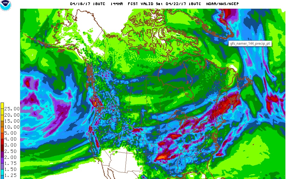
Spring-like weather continues this week in Nederland and the surrounding Front Range foothills communities. Monday and Tuesday will feature mild conditions with temperatures by Tuesday afternoon soaring into the low 60s. A cold front will sag southward across Colorado on Wednesday afternoon, ushering in cooler temperatures for Wednesday night and Thursday. A storm system will approach Colorado on Thursday, bringing even cooler temperatures and precipitation Thursday night and Friday. The GFS total precipitation map through midday Saturday shows 0.75 to 1.0 inches of liquid precipitation in the foothills with this next storm system. Moisture in any form is welcome. Whether this will be predominately rain or snow is a tougher question.
Right now it looks like Nederland will see rain Thursday evening with this rain gradually changing to snow Thursday night. By Friday morning, snow levels should be down to about 7000 feet with a wet blanket of spring snow blanketing Ned. There is still plenty of uncertainty with this next system. Stayed tuned for more information. Until then, enjoy the mild spring weather!