Astronomical summer is winding down with only a few days left before autumn officially begins on Monday, September 23rd. The weather here in the Colorado Front Range will be influenced by a persistent trough in the Western United States which will slowly creep towards the Central Rockies over the next several days. Until this trough and its associated cold front arrive, temperatures here in Nederland will average slightly above normal. Our normal high and low temperatures for September 16th are 68 F and 43 F, respectively. Expect highs on Tuesday and Wednesday to flirt with the 70 F mark with lows in 40-45 F range. By Thursday and Friday, cooler temperatures and some moisture will arrive in our neck of the woods. The moisture combined with upper level energy associated with the trough may result in some isolated showers and thunderstorms, but a widespread rain event is not expected. Highs on Friday and Saturday will only be in 60-65 F range with lows dropping back into the mid 30s F. Sheltered locations along North, Middle, and South Boulder Creeks may see their first freeze this weekend. Folks on the ridges may be cold enough to see a frost. It will be good sleeping weather, and a nice break from the hot start to September. This weekend, particularly Sunday, will be excellent for outdoor activities.
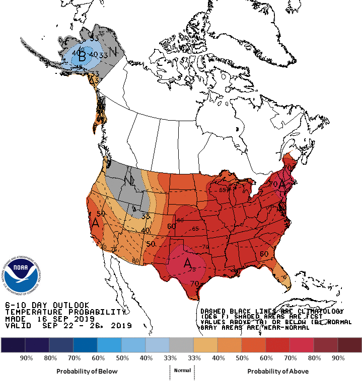
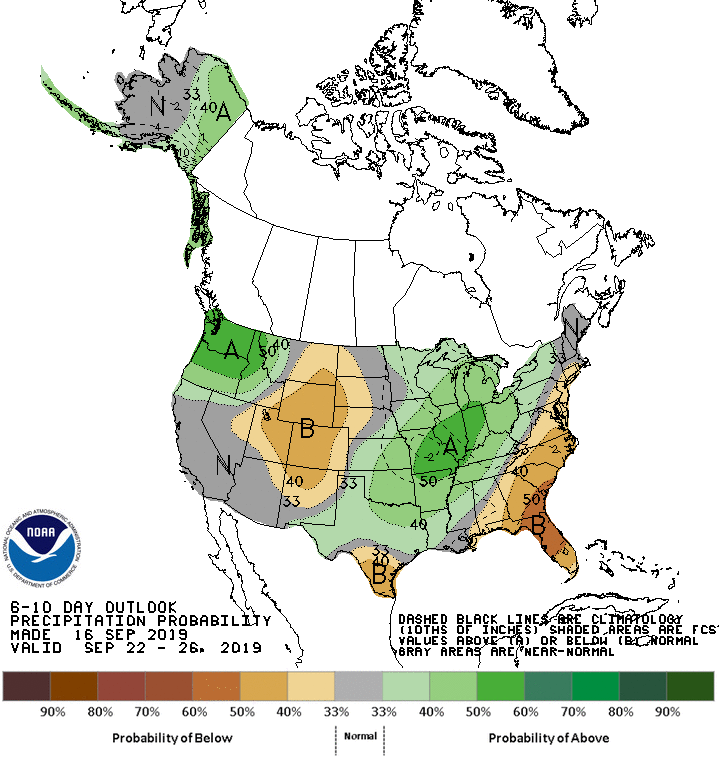
A quick look at the 6 to 10 day forecast shows above normal temperatures for much of the United States with below normal precipitation over the Central Rockies:
This bodes well for hiking and biking. Cold weather and snow lovers will have to wait. At least for another few weeks…