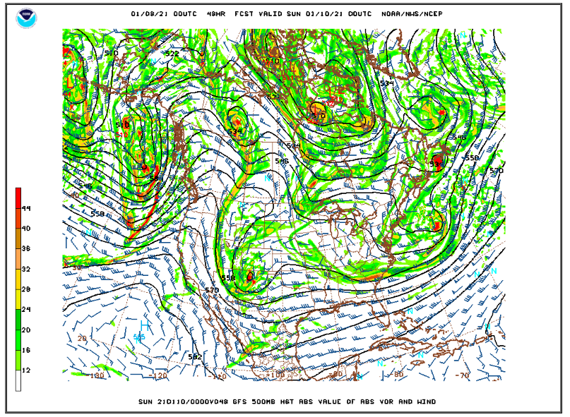
Friday will feature plenty of sunshine with temperatures topping out around 32 F. The next weather maker will be a an upper level storm system (or a short wave trough) that will track from northern Nevada Friday evening southeastward to a position over the New Mexico Colorado border by Saturday evening. Right now, it appears that the best energy and therefore the most precipitation will fall south of Nederland, but this system will produce a prolonged period of deep upslope flow in the Front Range Mountains Saturday afternoon into Sunday morning. This combined with moisture, good snow growth temperatures, and weak synoptic (geostrophic) lift should result in a 6-10 hour period of light snow in Nederland. Accumulations appear to be on the light side (1-3 inches), but any moisture is welcome.
Here is the 500 mb height and vorticity map for Saturday evening:
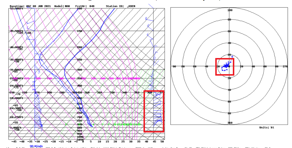
The upper level winds for Saturday evening show easterly upslope flow with a saturated atmosphere almost up to 20000 feet:
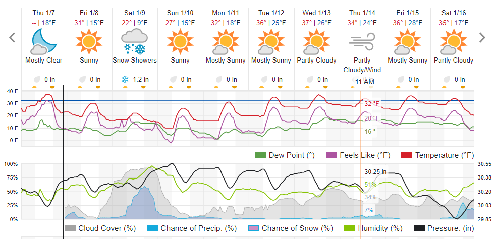
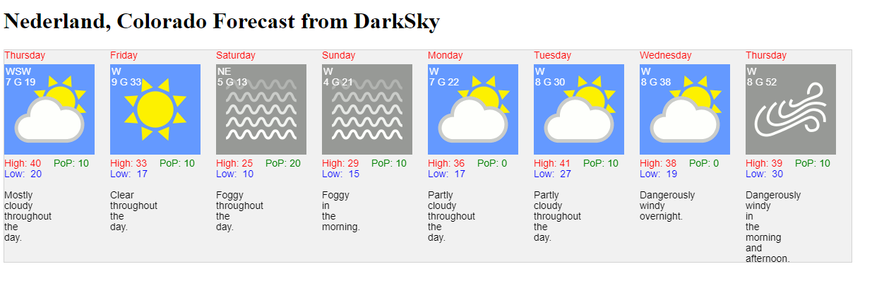
Model QPF ranges from aroun .10 inches on the NAM to 0.25 inches on the GFS. Given a 1:15 inch snow ratio this could lead to a 2 to 4 inch snowfall here in Ned and the Foothills communities. Taking a look at the different forecasts including my experimental DarkSky graphical forecast:
Weather Underground:
DarkSky:
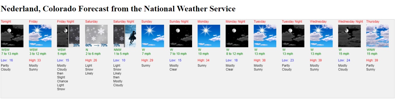
National Weather Service:
You can see there is a lot of disparity in PoPs. Most sources are pointing at a 1-2 inch snowfall. I’ll go with 1-3 inches.
It will be cold this weekend with lows in the 10-15 F range. We’ll get some relief next week when temperatures rebound into the 30s F.